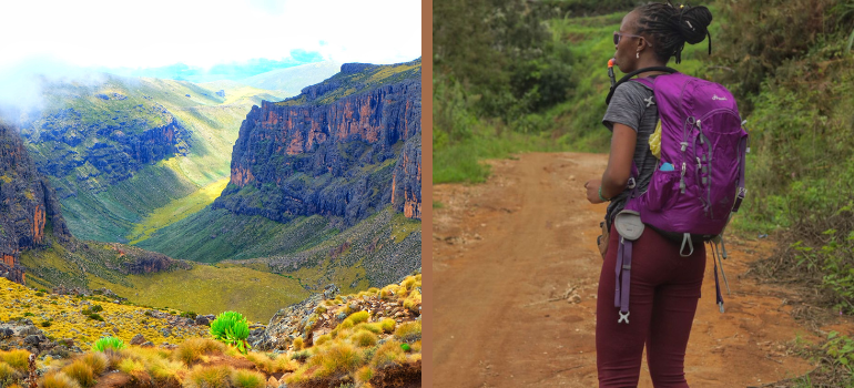
After my Mt Kenya summit , my goal is to chase sunsets, waterfalls and somewhat picturesque places without the struggle of altitude gain. High on my bucket list is the blue waters of Ngare Ndare which I had to cancel last month but Kamweti Falls made up for it with its accessible but cold water.
Table of Contents
QUICK FACTS ABOUT HIKING KAMWETI FALLS, MT KENYA
Difficulty: Moderate
Beginner friendly: Yes
Trail length: 23 KM.
Weather: rainy and muddy.
Hiking Duration: 6 – 7 hours.
Elevation : 2,400M ASL.
Kamweti waterfall is located in Mt Kenya, Kirinyaga area to be specific.
For this hike, I used Trek Tribe . We left Nairobi at 5:12 am and started the hike at 8:20 am at about 1,272 M ASL.
The gate to the first intersection
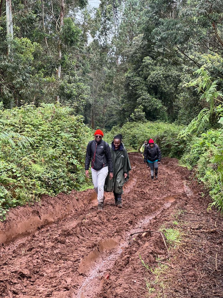
The trail starts at Castle lodge, offering cool and lush green trails through a murram road which ends at Castle lodge and is succeeded by a muddy trail due to the rainy weather and tree harvesting in the forest. After hiking through the muddy trail, we came across an intersection where the mud was very extreme because it had been raining our entire way there and it was still slightly raining.
The guides went back to the trail to look for a shortcut so that we could escape the mud.
The first short cut to the Thiba River bridge
From the short cut, we walked a while before coming across another mud puddle that we crossed and continued with the short cut in the midst of the rainforests. Thiba river is the main source of water and drains into Thiba dam. It’s a source of water for Mwea rice farmers.

The Thiba river bridge Karoki river which feeds into Thiba river
After hiking for a while, we came across river Karoku, which feeds into river Thiba downstream. I got to experience my social studies Mwea irrigation course work in real life which is always a must while hiking and travelling around Kenya.
From Karoki River to the Waterfall
This stretch of the hike will see you through a third bridge and river whose name I don’t recall. For this stretch, we escaped the mud and the main road again and ascended through a shortcut into the rainforest. After a short upward climb, we started trekking through a flat land which felt like a super long trek but was better than the mud, before coming into a pause into a steep descent to the waterfall.
The descent is steep and muddy but not as steep and long as the Ragia falls trail is.
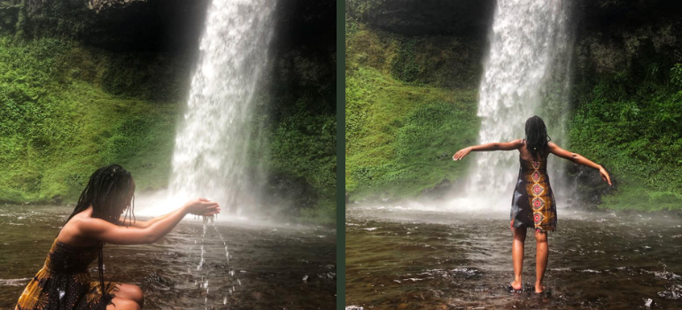
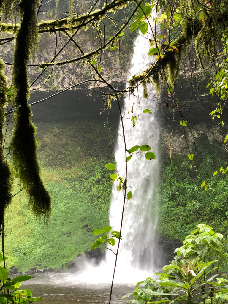
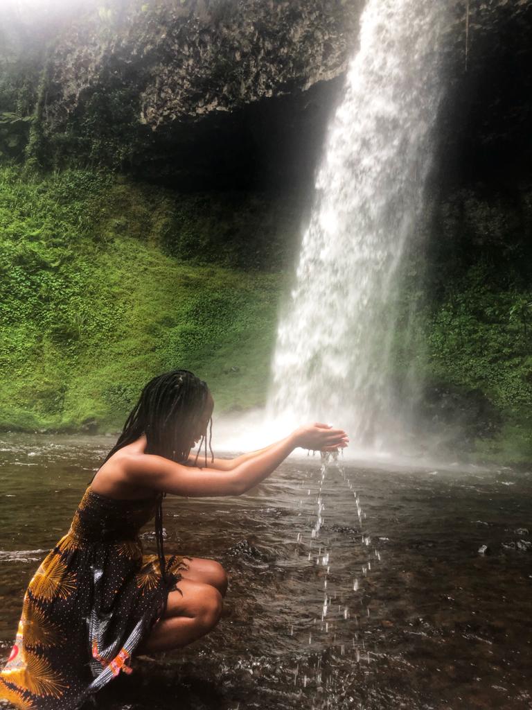
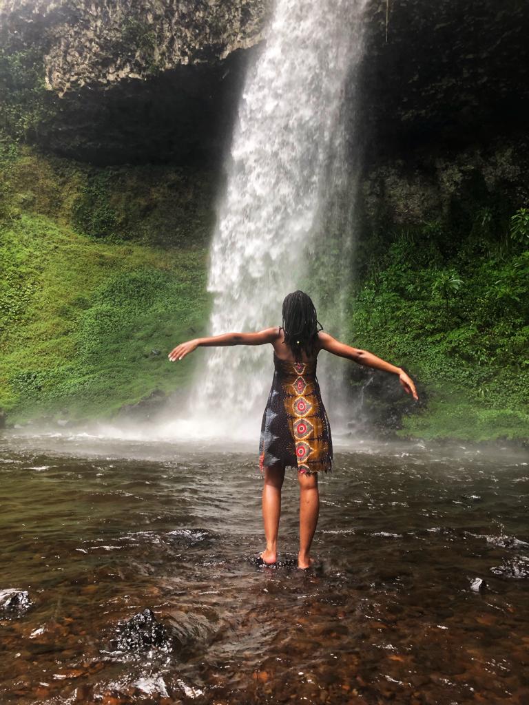
The guide was very helpful in getting us down the slope. One of us sprained her ankle just as we got near the waterfall. Good thing the guides had a first aid kit and were able to administer it and carry her up the slope as the rest of us continued to the waterfall. The water is so cold for a swim. Icy cold and the area around the waterfall is super cold and misty. Although I took some photos at the waterfall I dared not swim.

Here are other posts you may like:
Discover the Beauty of Lake Ellis on Your Mt Kenya Hike
Hiking the Seven Ponds Trail in Aberdare National Park
20 Things You Should Know Before Hiking Mt Kenya
Get Up Close and Personal with Giraffes: Exploring Giraffe Center Kenya